Category Archives: Road History

“Weigh Station” and Lang State Park HCRH Segments

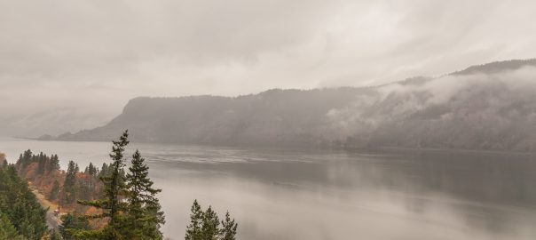
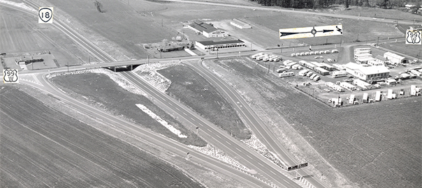
The last entry in my November 2019 HCRH trip covers two short segments that aren’t part of the HCRH State Trail: the so-called “weigh station” segment and a tiny portion in Wyeth that until recently dead-ended at some rocks at undeveloped Lang State Park. These might be small, but each piece has its own history that deserves noting.

Continue reading “Weigh Station” and Lang State Park HCRH Segments

Ruthton Point Viaduct HCRH Segment

When I went to the Columbia Gorge last month to explore old highway segments, the Shellrock Mountain segment wasn’t the only one I checked out — I ended up seeing 4 old sections total. The second section I’m highlighting is also the furthest east I visited: the Ruthton Point Viaduct section, a ¼-mile orphaned segment that includes about 300 feet of viaduct and stone railing. Though a small piece of the viaduct can be seen from I-84 and in a Google Street View photosphere from 2014, they don’t do it justice; the mountainside shields drivers and web-surfers alike from the beauty on the other side.

Continue reading Ruthton Point Viaduct HCRH Segment

Orphaned HCRH Segment near Shellrock Mountain

Recently I was able to cross off one of my Oregon roadgeeking bucket list items: Rediscovering an orphaned and largely forgotten piece of the Historic Columbia River Highway! This roughly ⅓-mile abandonned segment is just east of Wyeth near Shellrock Mountain, bordered by the Columbia to the north and I-84/the UP tracks to the south. Built over 100 years ago and bypassed in the early 1950s to increase traffic flow and improve safety, it has largely been left to rot inside a grove of evergreen trees next to an older parallel railway alignment closer to the river.

Continue reading Orphaned HCRH Segment near Shellrock Mountain

Westbound OR-18 at the South McMinnville interchange / US-99W junction, April 1967. The BGSs at the gore point show control cities of "Lincoln CIty" and "Corvallis / McMinnville" for OR-18 and US-99W respectively. Curiously, the "99" is stacked over the "W" on the US-99W shield (OSHD 292-42)

History of the Newberg-Dundee Bypass, Part 1: How We Got Here

A month ago, Phase 1 of the Newberg-Dundee Bypass opened between OR-219 southeast of Newberg and OR-99W at the southern end of Dundee. As I mentioned in my bypass opening day photo tour, the planning took decades to get to the point where a new highway rolled along the countryside — and this is just the first phase of three. The good news is that the Oregon legislature funded the design of Phase 2 to the tune of $22 million [^], but it doesn’t look like it’ll start until 2020.

Continue reading History of the Newberg-Dundee Bypass, Part 1: How We Got Here